The Journey Begins
Workshop at Kulturhuset Kåken · January 2026
Workshop Leaders: Leila Natsheh and Simona Cavalieri
Workshop Assistant: Camilla Uhlén
Workshop Assistant: Camilla Uhlén
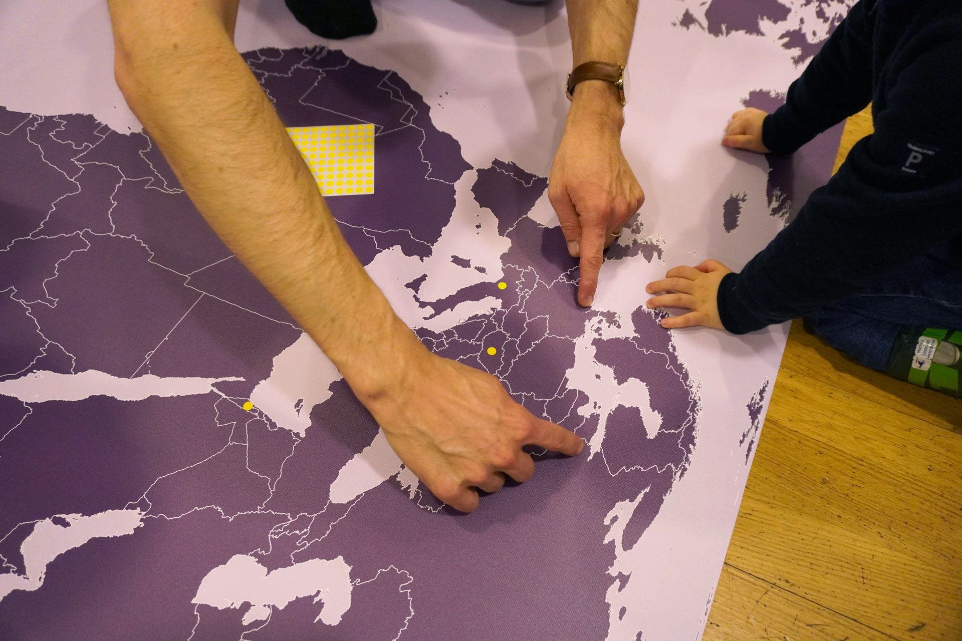
Photo: Camilla Uhlén
“From above, I can see all the countries.” — R, 6
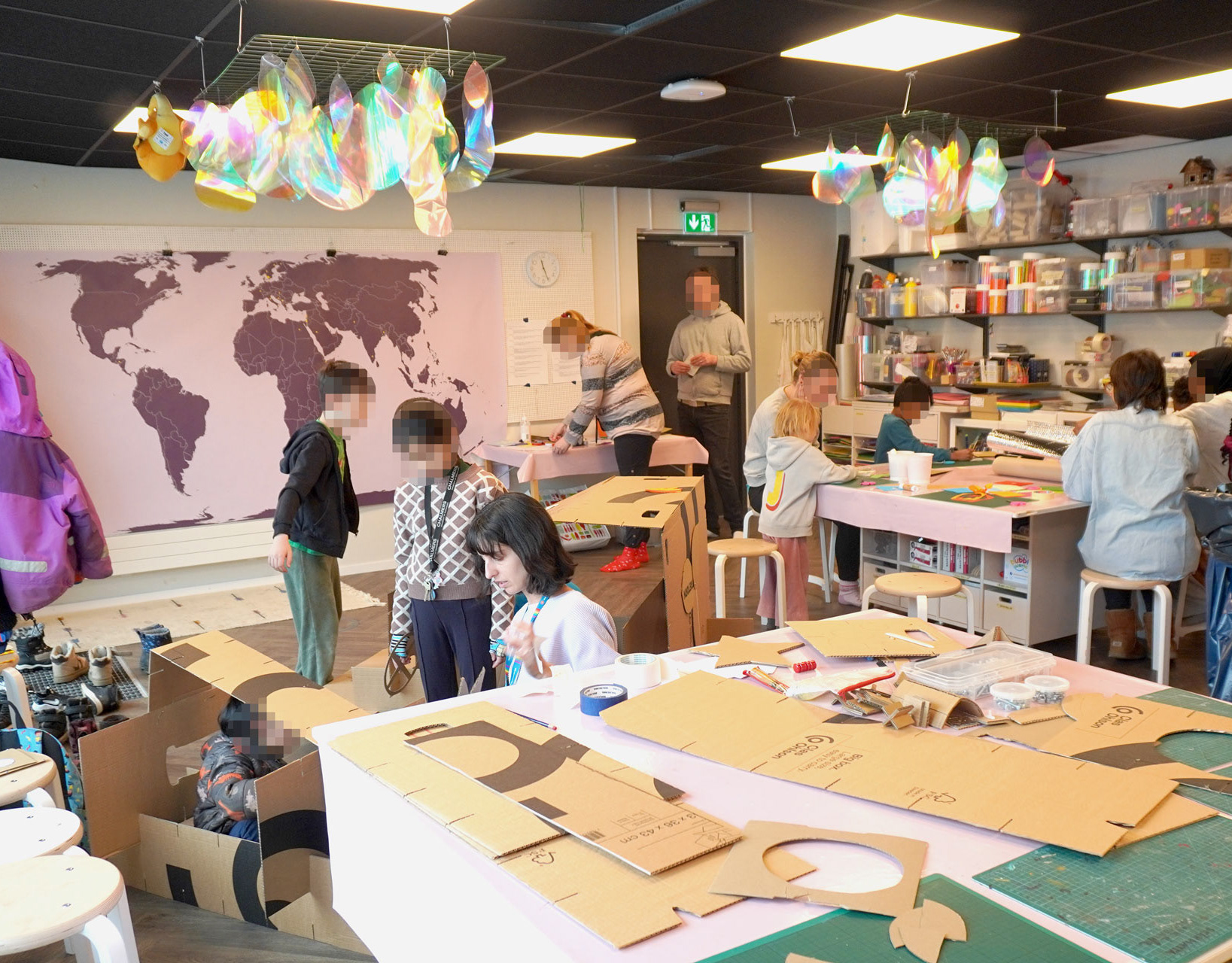
We kicked-off the Barnens Smarta Karta series of co-creative workshops at Kulturhuset Kåken. Children joined and shared their thoughts on maps, outer space and navigation.
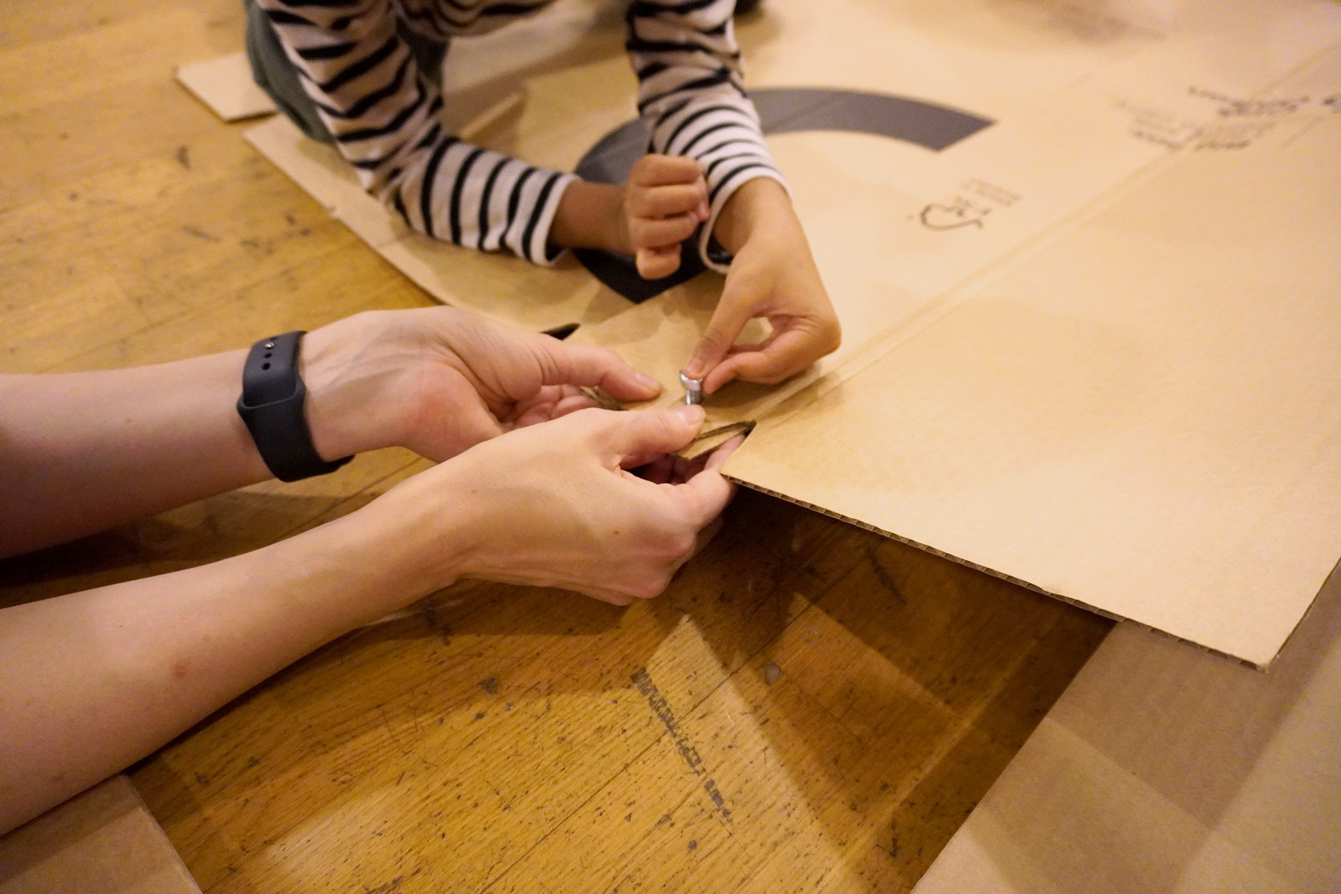
Photo: Camilla Uhlén
Let's build a spaceship!
To involve children in the process of map-making in a playful way, we designed a workshop where we invite children to build a spaceship with us. Play, and especially imaginary or fantastical play, is proven to be the best way to start thinking about creative solutions for complex problems.
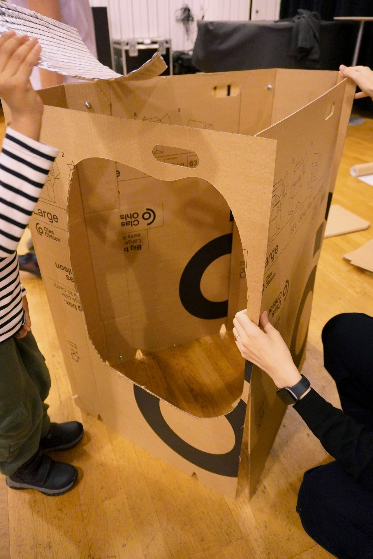
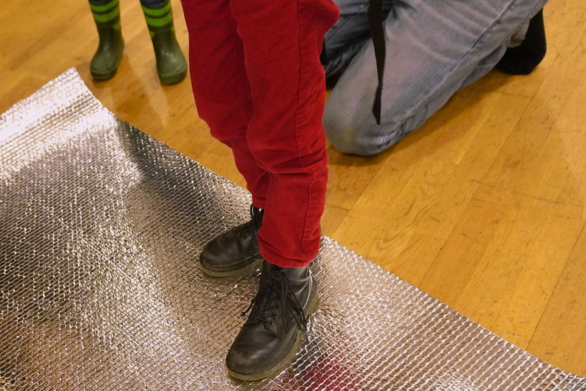
Photo: Camilla Uhlén
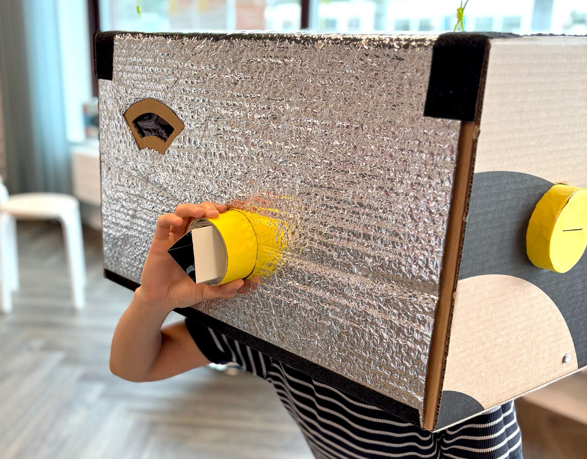
Limited Materials and Fantasy
With cardboard as the main material we invited children to build a spaceship.
What would make a spaceship? How could we make it more comfortable? Is there a way to drive the spaceship? Is there a window, and what do you see from it? These are some of the questions we asked to prompt children to build and think about the different components of the spaceship.
One child explained how there should be a big window on the spaceship to be able to see the starry space, and that plan was executed on the spaceship. Another child created a comfortable area for explorers to lie down and rest using silver thermal foil.
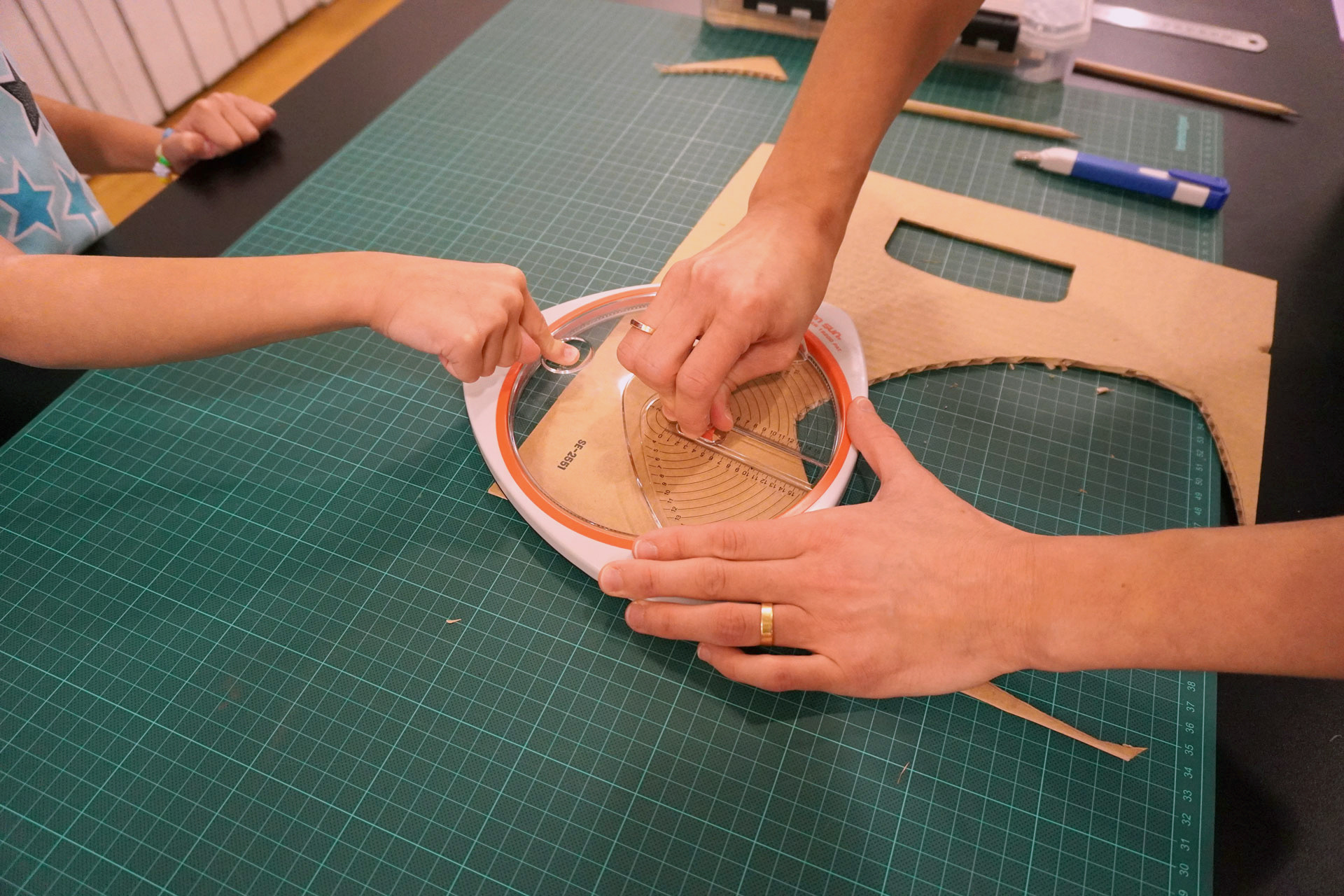
Photo: Camilla Uhlén
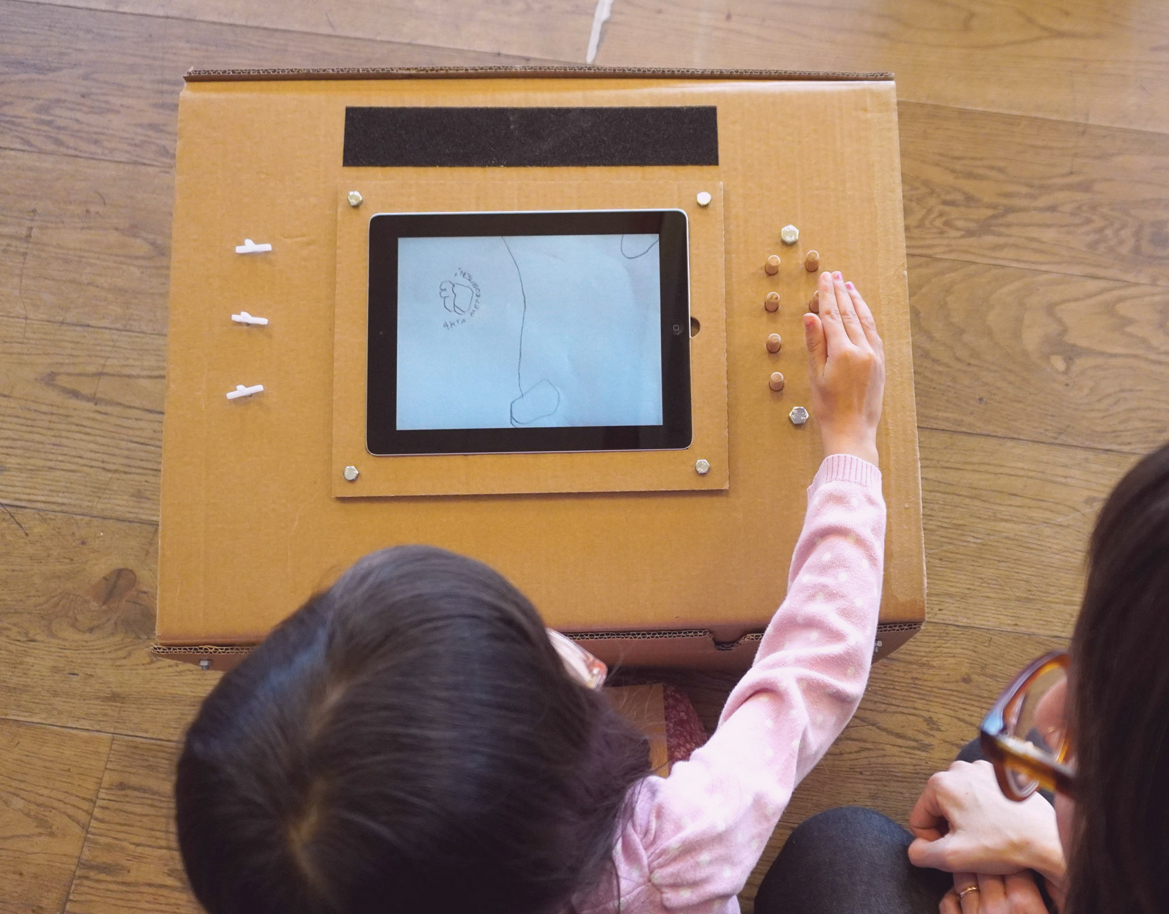
Navigation and Controls
We were specifically interested in understanding children's perspective regarding navigation, and how the spaceship would be controlled.
It was fascinating to see one child use a circle-cutting-tool that we had as the control panel. He said that the spaceship move forward or comes to a stop, depending on whether the "joystick" part is pushed forward or brought back to zero.
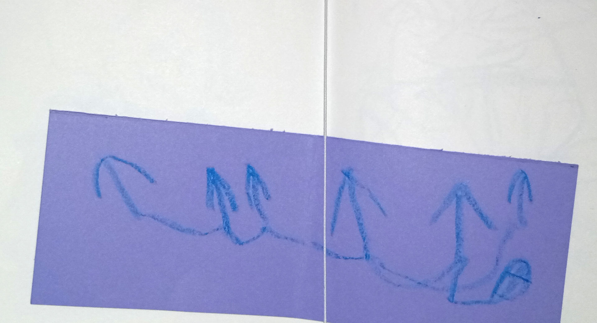
Photo: Leila Natsheh
"The arrows show you where you have to go. If it is not pointing in that direction, then you are not allowed to go there." — E, 5
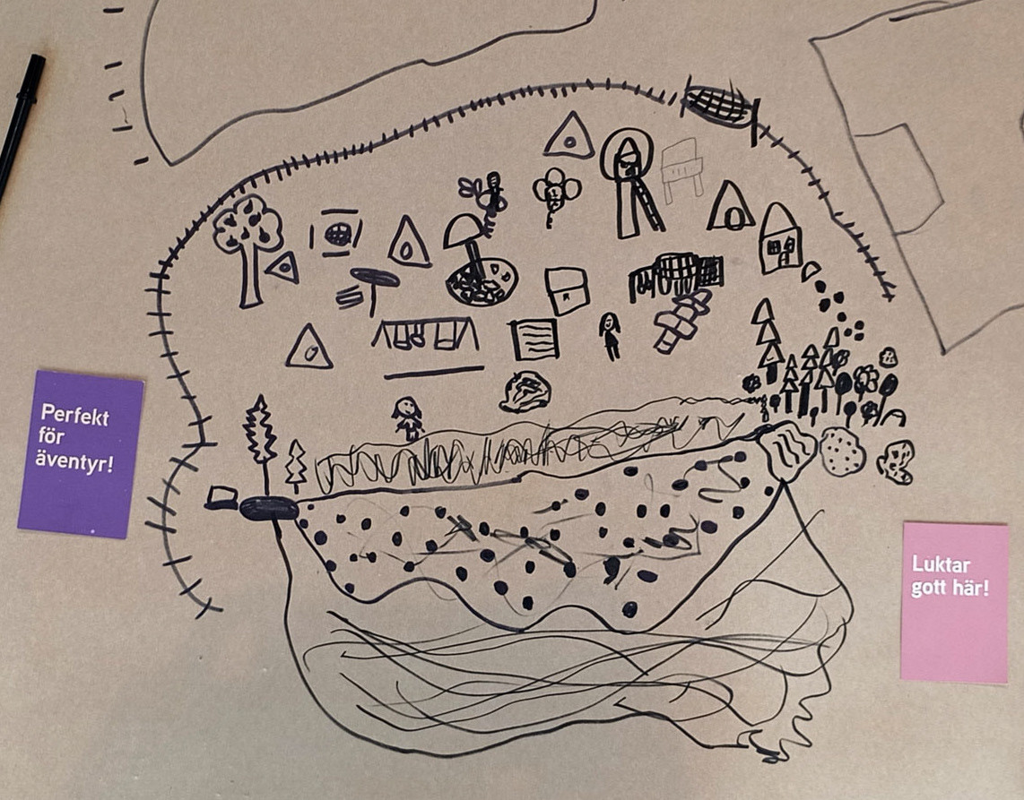
Conventional Maps and Children
During the workshop children were exposed to two large printed maps: of the world, and of Gothenburg city.
It was impressive to see that a 3-year-old was able to identify that the printed items were maps, and to see him compare it to the landscape he had seen from a plane. He also recognized that the map of Gothenburg was the same as the view from the plane, except not from as far away.
Although conventional maps are abstract, children's exposure to maps and flights today is much higher than in the past, and it may be that their understanding of this quite abstract visual is deeper than we think. We shall see where our journey takes us.
Would you like to join us next time?